The Four Shire Stone
Moreton-in-Marsh

ëWarwick Info   ëTREPESS Info

UNDER CONSTRUCTION - WATCH THIS PAGE FOR WHAT I HOPE WILL BE A DEFINITIVE HISTORY OF THE STONE
Any additional information will be greatly appreciated.


The current stone marker is at the point where four shires used to meet; (there are now three, as the Worcestershire parish of Evenlode boundary was transferred to Gloucestershire in 1931). The monument was probably erected in the late 16th century. It is believed there was a Roman milestone at that point earlier, and at one time individual stones for each county, though this is not well documented. The current stone was described by Samuel Rudder in 1779 as being "A handsome pedestal about 12 feet high with a dial on the top and an inscription to inform travellers that 'This is the Four Shire Stone'"
Detail from John Speede's map of 1610   Detail from a map published by Pigot in 1828
Speede's map of 1610, Morden's of 1695 and later maps such as Toms of 1741 indicated four stones at the spot, but this is thought to be erroneous, as an earlier tapestry map woven in Barcheston for William Sheldon in the 1580s shows a square with a circle in the centre, labelled 'Fowre Sheer Ston'. The current finial replaced the dial in the late 19th century following vandalism, and the county names added at that time. The stone has been damaged and repaired several times since, and has been protected by iron railings, which can be seen in photographs taken in around 1900 (see the postcard below c.1918 kindly supplied by David Gregory).

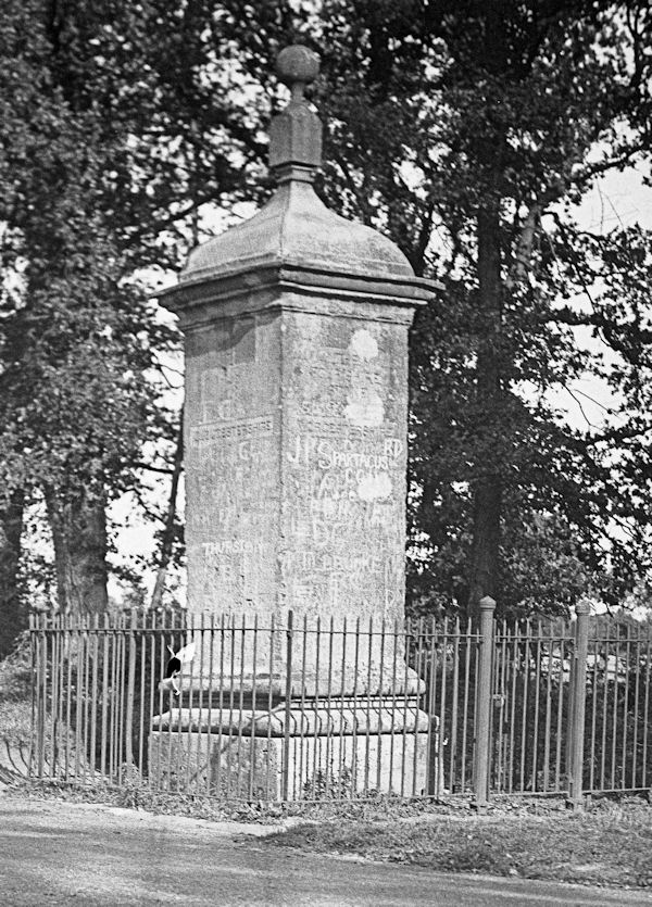
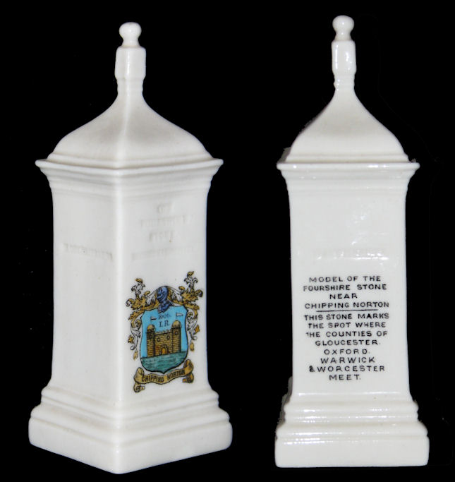
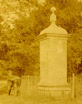
In AD 772 a Saxon charter referred to 'Cetta's Tree' near which are various boundaries of villages, while in AD 969 there was a reference to four separate stones, apparently only a few yards apart. The site is on or near an old barrow, so there may well have been a place of worship there. Stories handed down referred to ancient battles at or near the site, and in more recent times the site was treated as a meeting point for councils and later for 'vagabonds, prize fighting and other illegal sports' - it being easy to move into the adjoining shire if the constables of one county turned up.

Data for the above information taken from a book published by the Moreton in Marsh & District Local History Society entitled "Four Shire memories : history and reminiscences of villages round the Four Shire Stone, Gloucestershire : edited by Guy Stapleton".

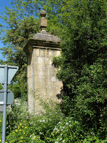
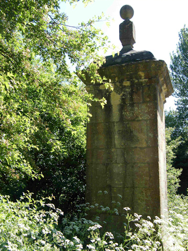
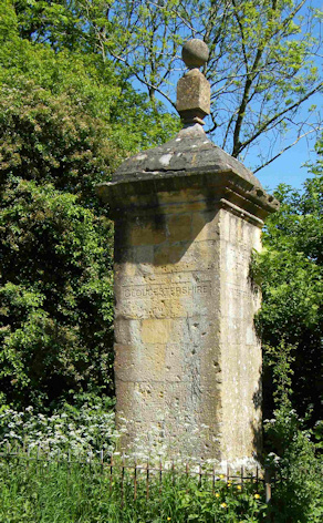
The stone is listed as an historic monument - Heritage Gateway Listing and more details can be found on the Timetrail posted by the Warwickshire Museum
(Information reproduced with permission of Warwickshire Historic Environment Record, Warwickshire County Council)

PH1035/A5092(N)
This image [PH1035/A5092(N)] was taken in 1936
Reproduced with the kind permission of the Warwickshire County Record Office Ref: 16062009/NHJ/K


Worcester Side   Warwick Side   Gloucester Side
Three Sides of the Monument taken in 2009 (the fourth side was too overgrown
Kindly submitted by Jacqui Simkins & Gus Tysoe


A Goss commemorative souvenir of the stone
A Goss Commemorative souvenir of the stone
Kindly submitted by John Bates


click here for full size
Postcard c. 1918 Courtesy of Postcards of the Past


Great Property in Hungary - Still very reasonable   Look and Buy now   Hungary joined the European Community - 1 May 2004 !

Created & Maintained by Pickard Trepess    Revised: 11 March 2016
This web page © 2000 - 2016 Hunimex Kft.